Whether a project involves surveying hundreds of miles of pipelines, identifying optimum oil well locations, or assisting in the recovery of a city after a natural disaster, our survey team is more than prepared to tackle any challenge. Integrating our newly refined data communications network, high quality instruments, and professional staff, our land survey services can be an efficient solution to every project. If you need a professional land surveyor, then look no further.
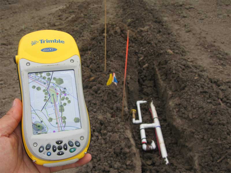
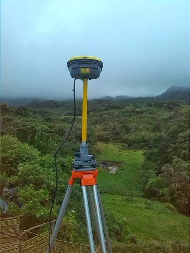
Geosilicon is a trusted consulting partner for all its clients, right from training to survey,data conversion, data maintenance, data analysis and GIS implementation. Geosilicon has provided varied services to the government and private clients, on RTK GPS / DGPS and Total Station surveys, Utility mapping, Urban mapping for Master Plans and change detection studies, Satellite Image processing for vegetation assessment in Agriculture and Forestry, Watershed management studies, corporate and education sector skill enhancement training programs, etc. Our motto for training – “Personalised Professional Service”.
The resources that we provide are:
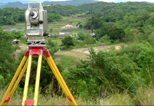
A Topographic Survey is a survey that gathers data about the elevation of points on a piece of land and presents them as contour lines on a plot. The purpose of a topographic survey is to collect survey data about the natural and man-made features of the land, as well as its elevations. Topographic maps are used to show elevations and grading features for architects, engineers, and building contractors. Geosilicon Technologies' professional land surveying team is well-versed in the nuances of topographic surveying. Utilizing the latest surveying technology, Geosilicon's land surveyors produce accurate, consistently reliable topographic surveys, saving you both time and money during the construction process.
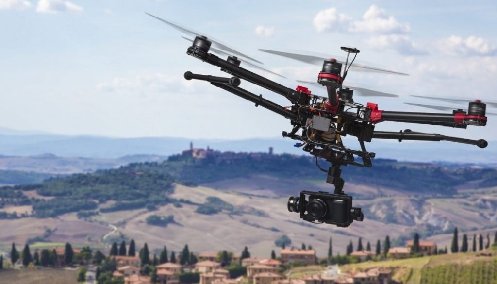
An Unmanned Aerial Vehicle (UAV) commonly known as a drone and referred to as a Remotely Piloted Aircraft (RPA) by the International Civil Aviation Organization (ICAO), is an aircraft without a human pilot aboard. UAV's have opened up a whole new world of surveying, Orthophoto production, 3D modeling and feature extraction possibilities due to the massive simplification of the data acquisition stage compared with conventional methods of aerial capture, the costs involved have been drastically reduced.
Geosilicon Technologies having experience in the professional surveying industry, now specializing in UAV data processing and delivers high-quality true orthophoto, Contours / DEM / DTM / DSM and 3D model to various domain urban planning, commercial, utilities, environmental, agriculture and governance. Post processing is performed using very powerful workstations to handle the massive size of the datasets acquired.
INPUTS
Ortho Rectification
Data modeling (DEM / DTM / DSM/ Contour)
2D/3D Feature Extraction
3D Video Production